US Map / States / South Carolina
South Carolina Map
One line does most of the explaining here: the fall line, running from Augusta through Columbia to Cheraw, separating upcountry from lowcountry.
South Carolina at a glance
| Capital | Columbia |
| Largest city | Charleston |
| Abbreviation | SC |
| Population | 5,478,831 (2024 Census estimate) |
| Land area | 30,061 sq mi |
| Region | South (South Atlantic division) |
| Time zone | Eastern Time, statewide |
| Counties | 46 counties |
| Statehood | 1788 (8th state) |
| Borders | Georgia and North Carolina — only two — plus the Atlantic |
Major cities
South Carolina has no city among the 100 largest in the country, and its population is unusually evenly spread. Charleston, on the peninsula between the Ashley and Cooper rivers, is the largest city, and Charleston County counted 431,001 in 2024. Columbia, the capital, sits at almost the exact geographic center of the state in Richland County (430,651) — it was laid out in 1786 specifically to move the government inland from the coast.
The most populous county is neither: Greenville County reached 570,745, part of the Upstate manufacturing corridor that runs along I-85 between Charlotte and Atlanta with Spartanburg County (369,256) beside it. Horry County (413,391), which is Myrtle Beach and the Grand Strand, is the fastest-growing. Lexington County (313,774) takes Columbia’s suburbs. The full ranking is on the South Carolina county map.
Geography
The fall line crosses the state from Augusta through Columbia and Camden to Cheraw. Above it the Piedmont is red clay over crystalline rock; below it the coastal plain is sand and marine sediment, and every river breaks into shoals at the crossing. Columbia grew up exactly there, where the Broad and Saluda rivers join to form the Congaree, and the shoals both powered mills and stopped boats.
In the northwest corner the Blue Ridge escarpment rises abruptly — the Appalachians reaching Sassafras Mountain, 3,553 ft, on the North Carolina line, with some of the highest rainfall in the eastern United States on the slopes below. Going the other way, the Lowcountry dissolves into salt marsh and the Sea Islands: Hilton Head, Edisto, St. Helena, and roughly 187 miles of general Atlantic coast. The Savannah River and its headwater forks form the entire Georgia border, dammed into Hartwell, Russell and Thurmond lakes along the way. Congaree National Park, near the capital, protects the largest surviving tract of old-growth bottomland hardwood in the country.
Printable South Carolina maps
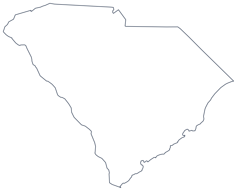
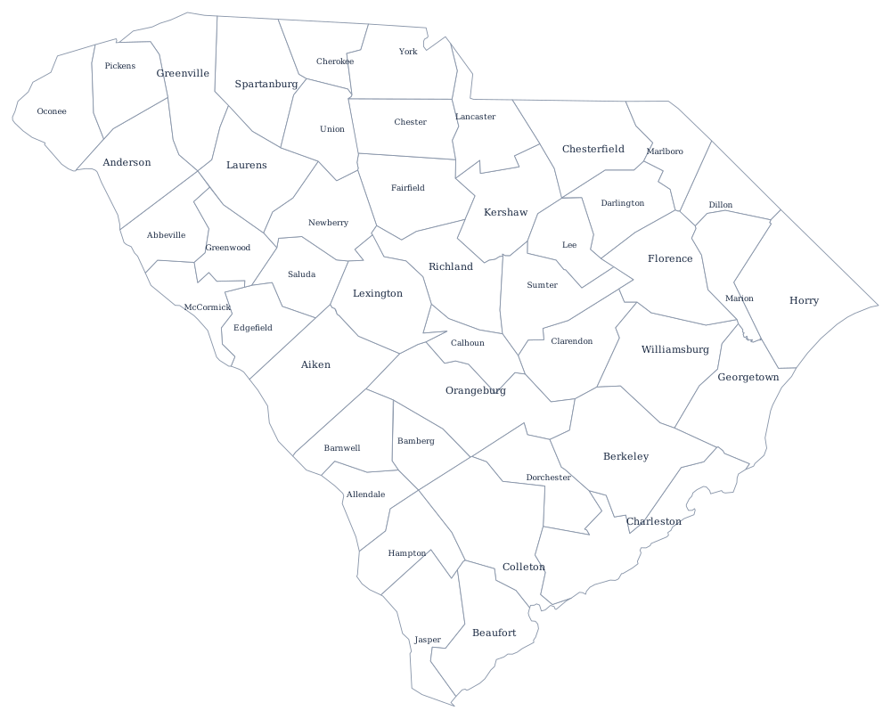
South Carolina's rough triangle is one of the simplest state outlines to reproduce from memory — download the SVG above, or use the blank South Carolina map for a sheet sized to Letter and A4. The county file adds all 46.
Neighboring states
Only two states touch South Carolina. North Carolina curves around the north on a boundary the two states spent decades re-surveying and formally corrected in 2016, and Georgia lies across the Savannah River to the southwest. Both, and the rest of the seaboard, appear on the South Atlantic division map.