US Map / County Maps / Minnesota
Minnesota County Map
One Minnesota county is larger than Connecticut and Rhode Island put together, and 200,000 people live in it.
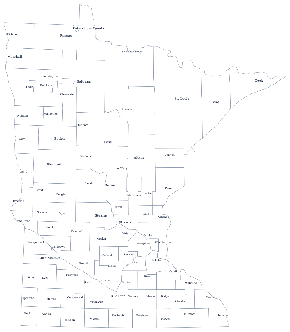
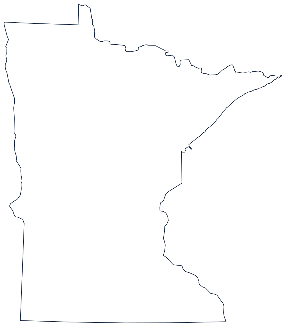
Minnesota Territory in 1849 had nine counties covering an area that reached into the Dakotas. The southern half was subdivided quickly as the prairie filled with farms, and by 1870 it looked much as it does now. The north was different: the last counties were made in 1922, when Lake of the Woods was cut from Beltrami, and several of the northern counties are still mostly public forest, peatland, and lake.
The 87 counties of Minnesota
The seven-county Twin Cities metropolitan area supplies five of the ten largest. Together the ten hold 65% of Minnesotans.
| County | County seat | Population (2024 estimate) |
|---|---|---|
| Hennepin County | Minneapolis | 1,273,334 |
| Ramsey County | St. Paul | 542,015 |
| Dakota County | Hastings | 453,156 |
| Anoka County | Anoka | 376,840 |
| Washington County | Stillwater | 283,960 |
| St. Louis County | Duluth | 200,794 |
| Olmsted County | Rochester | 166,424 |
| Stearns County | St. Cloud | 163,997 |
| Scott County | Shakopee | 157,206 |
| Wright County | Buffalo | 154,593 |
Counties that run the welfare state
Minnesota counties do more than counties in most states. The state administers its human services through them: cash assistance, food support, child protection, adult mental health, and much of public health are county-delivered under state supervision, which is why a Minnesota county with 5,000 residents still needs a full social services department. Boards of five commissioners run them, and counties have combined into joint powers boards and multi-county health and human services agencies to make it affordable.
The northern counties are shaped by the two things that made them: iron and timber. St. Louis County stretches 160 miles from Duluth to the Canadian border because the Mesabi Range runs through the middle of it, and its county board keeps a second courthouse at Virginia and a third at Hibbing to serve the range towns. Koochiching, Lake, and Cook counties are similarly long and thin, and the Boundary Waters wilderness occupies a large part of the last two, which cannot be taxed.
Largest and smallest counties
Hennepin County is the most populous at 1,273,334 in the 2024 estimates, 22% of the state, and contains Minneapolis; Ramsey County is second at 542,015 and contains St. Paul. The smallest is Traverse County on the North Dakota line, 3,134 people. St. Louis County is by far the largest by land area at about 6,200 square miles — bigger than Connecticut and Rhode Island combined — and about 200,000 residents, most of them in Duluth.
The Minnesota state page covers the lakes and the cities, and the county map index covers the country. Bordering county maps: Wisconsin, Iowa, South Dakota, and North Dakota. The Lake Superior page follows the north shore that three of these counties sit on.