US Map / County Maps / Maryland
Maryland County Map
Maryland has 23 counties and one city that belongs to none of them.
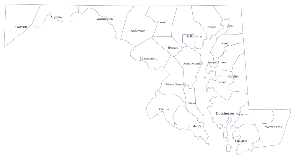
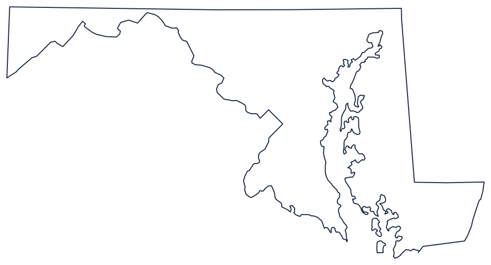
Maryland's counties are old and unusually powerful. St. Mary's was created in 1637, three years after the colony landed, and the last, Garrett, in 1872. Between them they do almost everything: Maryland has no townships, no county-level school districts separate from the county government, and only about 157 incorporated municipalities in the whole state, so for most Marylanders the county is the local government, running the schools, the police, the libraries, and the water.
The 23 counties and one city of Maryland
Baltimore city is listed here as a county equivalent because that is what it is. The ten units below hold 85% of the state's people, and the top two, Montgomery and Prince George's, are the Maryland suburbs of Washington.
| County or city | County seat | Population (2024 estimate) |
|---|---|---|
| Montgomery County | Rockville | 1,082,273 |
| Prince George's County | Upper Marlboro | 966,629 |
| Baltimore County | Towson | 852,425 |
| Anne Arundel County | Annapolis | 602,350 |
| Baltimore city | Independent city — not part of any county | 568,271 |
| Howard County | Ellicott City | 339,668 |
| Frederick County | Frederick | 299,317 |
| Harford County | Bel Air | 265,514 |
| Carroll County | Westminster | 177,108 |
| Charles County | La Plata | 174,478 |
Baltimore city, and the county that lost it
Baltimore separated from Baltimore County in 1851 and has been an independent city ever since, belonging to no county and performing every county function itself. The split left Baltimore County as a doughnut around a hole, with its seat at Towson just outside the city line, and it is the reason the two names constantly confuse: Baltimore County has more residents than Baltimore city, and they are separate governments with separate police, schools, and tax rates. Maryland is one of only four states with independent cities, and it has exactly one.
The counties themselves come in three legal forms. Charter counties have an elected executive and a council; a few use code home rule; the rest are still commissioner counties, whose boards need the General Assembly's permission for anything the state code does not already allow. That is why the Maryland legislature still spends part of each session on local bills — a fence ordinance in Somerset County, a liquor license in Garrett — that a charter county would settle on its own.
Largest and smallest counties
Montgomery County is the most populous at 1,082,273 in the 2024 estimates, 17% of Maryland, and Prince George's County follows at 966,629. Baltimore city holds 568,271. The smallest is Kent County on the upper Eastern Shore, 19,557 people in 277 square miles of farmland between the Sassafras and the Chester, with its courthouse at Chestertown. Frederick County, in the north-west, covers the most ground at roughly 660 square miles.
Go to the Maryland state page for the Chesapeake and the panhandle, or the county map index for every state. Neighboring county maps: Virginia, Pennsylvania, West Virginia, and Delaware. The Atlantic Coast page follows the shoreline the Eastern Shore counties sit on.