US Map / County Maps / Delaware
Delaware County Map
Delaware has three counties, fewer than any other state, and one of them holds more than half the population.
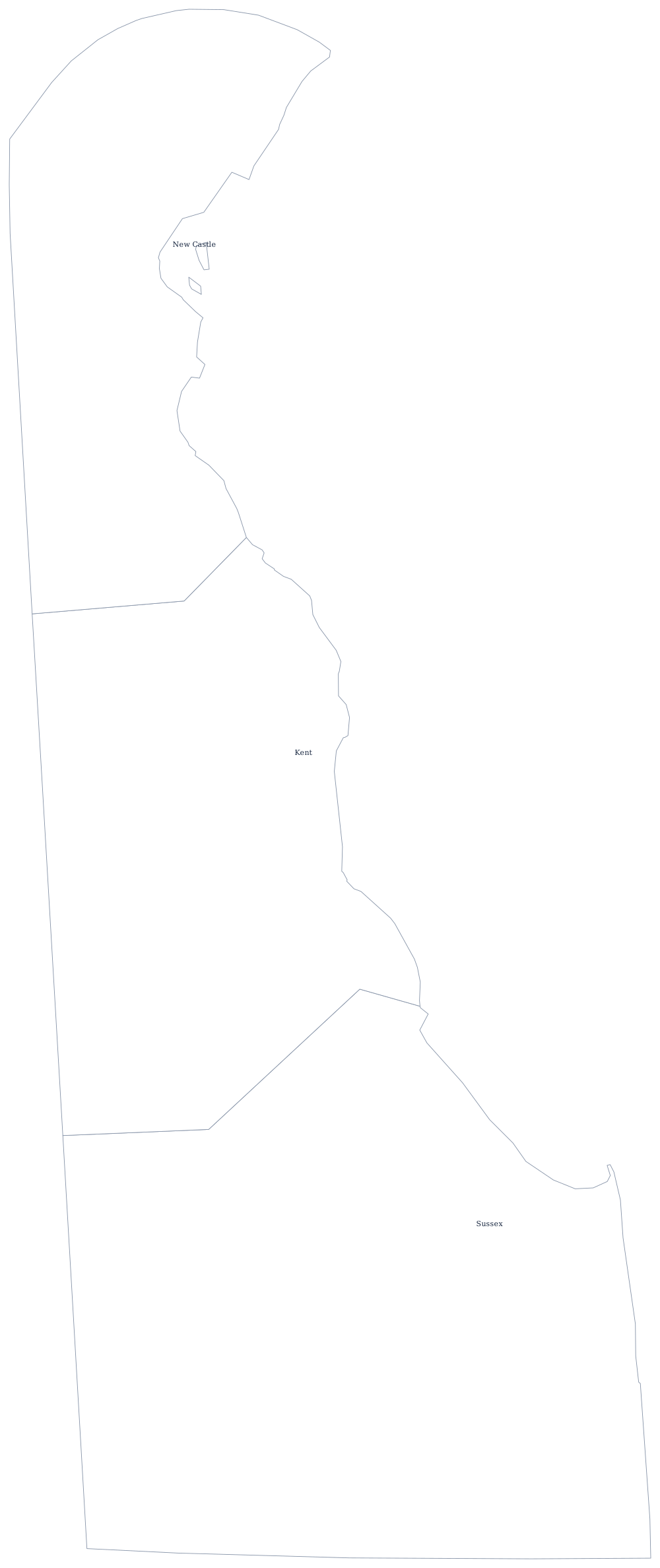
Delaware's counties are older than the state. New Castle, Kent, and Sussex were established under the Duke of York's government in the 1670s and 1680s, and the two straight lines that divide them run east from the Maryland border to the Delaware Bay. Because there are only three, each is large by eastern standards and each is genuinely different: industrial and suburban in the north, agricultural in the middle, beach and poultry country in the south.
The three counties of Delaware
Only three rows, and they cover the whole state. New Castle County alone holds more than half of Delaware's residents.
| County | County seat | Population (2024 estimate) |
|---|---|---|
| New Castle County | Wilmington | 588,093 |
| Sussex County | Georgetown | 271,134 |
| Kent County | Dover | 192,690 |
Levy courts, a county council, and the Twelve-Mile Circle
Two of the three counties are still run by a levy court, a colonial name that survives nowhere else in the United States. Kent and Sussex each have an elected Levy Court of commissioners; New Castle, which urbanised, swapped its levy court for a county executive and county council in 1965. All three run land use, sewer, and assessment, while schools and roads belong to the state — Delaware maintains about 90 per cent of the road mileage in the state, an unusually centralised arrangement that leaves counties with little to build.
The northern boundary is the country's strangest county line. In 1682 the Duke of York granted William Penn the land within a twelve-mile radius of the New Castle courthouse, and surveyors drew the arc that still separates New Castle County from Pennsylvania. It also produced the Wedge, a triangular scrap of land between the circle, the Mason-Dixon Line, and the north-south Delaware boundary, which Delaware and Pennsylvania both claimed until 1921.
Largest and smallest counties
New Castle County is much the largest at 588,093 people in 2024 — 56% of the state — and contains Wilmington and Newark. Sussex County is second at 271,134 and is the fastest-growing, filled by retirees moving to the Atlantic beaches around Rehoboth and Lewes. Kent County, with the state capital at Dover, is the smallest at 192,690. Sussex is also the largest by land area, roughly 940 square miles — nearly half of Delaware.
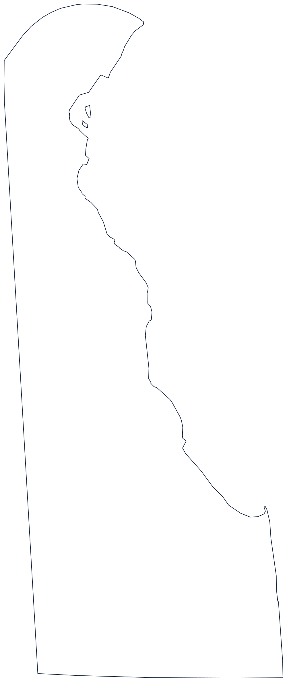
See the Delaware state page for the rest of the state, or the county map index for the other 49. The counties next door: Maryland, Pennsylvania, and New Jersey across the bay. For a clean outline to label, use the blank Delaware map.