Maine Map
The only state that touches just one other state. Capital: Augusta. Largest city: Portland. Abbreviation: ME. Nearly as big as the rest of New England put together.
Maine at a glance
| Capital | Augusta |
| Largest city | Portland |
| Abbreviation | ME |
| Population | 1,405,012 (2024 Census estimate) |
| Land area | 30,843 sq mi |
| Region | Northeast (New England division) |
| Time zone | Eastern Time (UTC−5, UTC−4 in summer) statewide |
| Counties | 16 counties |
| Statehood | 1820 (23rd state) |
| Borders | New Hampshire, plus the Canadian provinces of Quebec and New Brunswick and the Atlantic Ocean |
Major cities
Maine holds about 1.4 million people across 30,843 square miles, roughly 46 to the square mile, and almost all of them live in the southern third. Portland, the largest city, has fewer than 70,000 residents and does not reach the 100 largest US cities, but its metropolitan area accounts for a large share of the state’s population; Lewiston, Bangor, South Portland and Auburn follow. Augusta, the capital, sits on the Kennebec River well inland. North and east of Bangor the settlement pattern thins out fast: Aroostook County alone covers more ground than Connecticut and Rhode Island combined, and much of the interior is unorganized territory with no town government at all, surveyed only as numbered townships.
Geography
Maine’s coast is the most deeply cut in the eastern United States: about 228 miles of general shoreline becomes some 3,500 miles once every drowned river valley, bay and island is traced, the result of glaciers scouring the bedrock and the sea flooding the grooves. Mount Desert Island holds Acadia National Park and Cadillac Mountain, at 1,530 feet the highest point on the North Atlantic seaboard of the United States. Inland, the northern end of the Appalachian Mountains culminates in Katahdin, 5,269 feet, where the Appalachian Trail ends. Moosehead Lake, about 40 miles long, is the largest of thousands of lakes left by the ice. The Penobscot, Kennebec and Androscoggin rivers run south to the sea and once carried the state’s log drives; the St. John forms much of the northern boundary with New Brunswick and the St. Croix most of the eastern one. West Quoddy Head, near Lubec, is the easternmost land in the contiguous United States.
Printable Maine maps
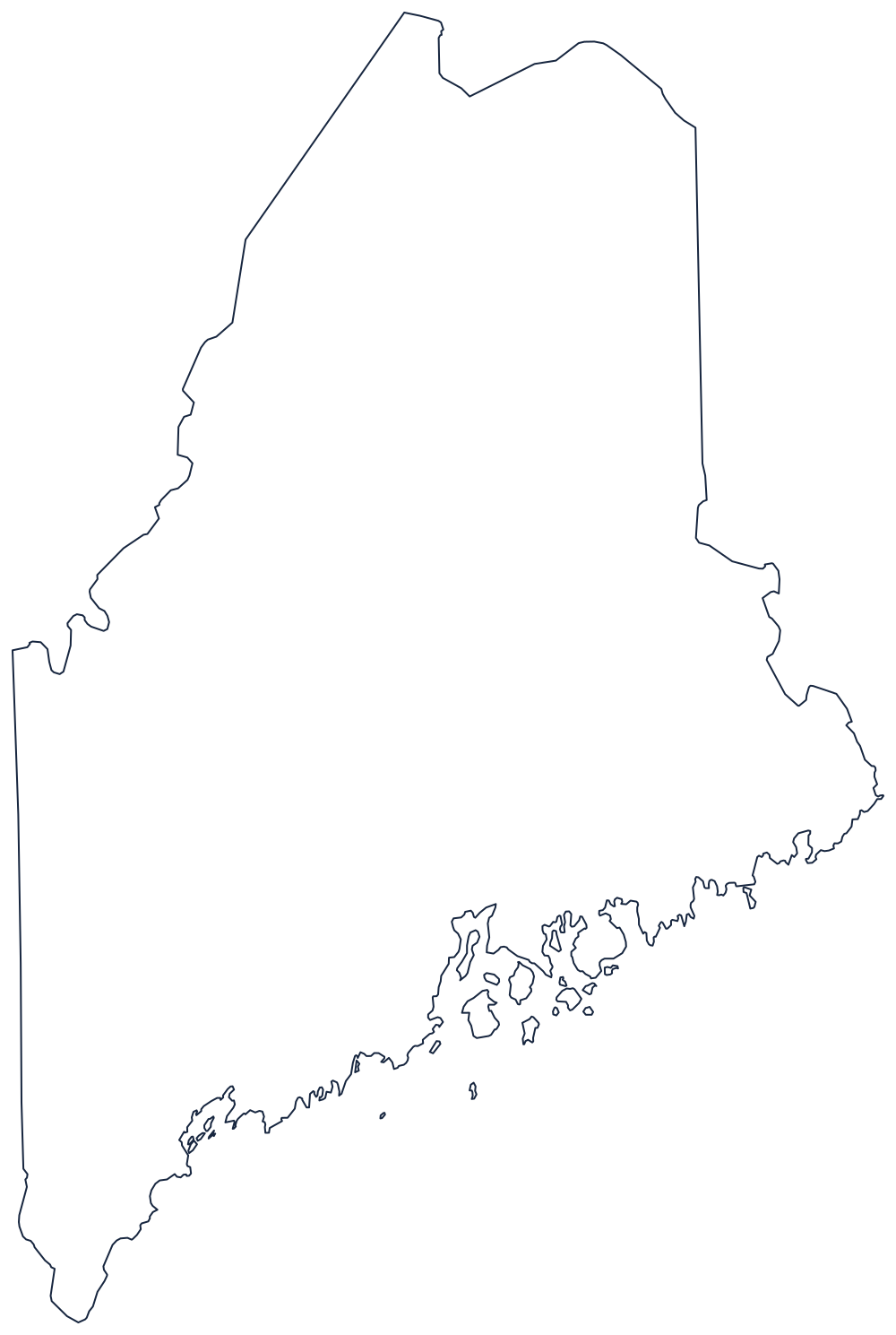
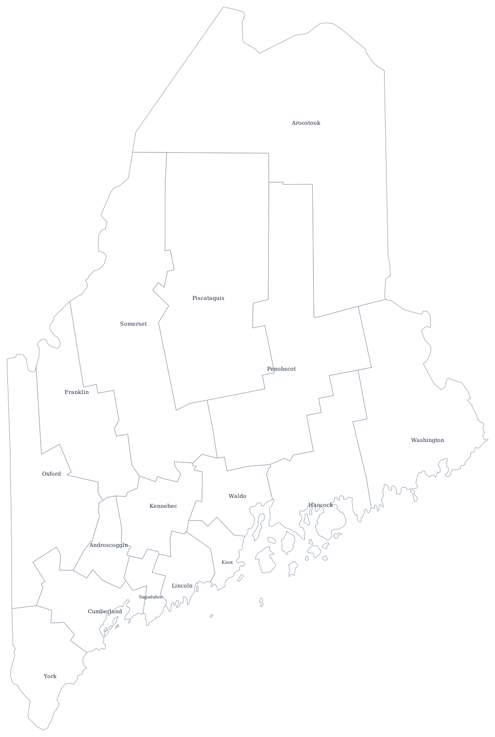
Maine’s ragged eastern coastline is the hard part to draw, so the outline is worth printing large. The county file draws all 16 county boundaries as unlabeled outlines, ready to fill in. A larger printable sheet with notes on how the borders were drawn is at blank Maine map, and the populated version is on the Maine county map page.
Neighboring states
Maine touches only New Hampshire, which makes it the one state in the union with a single neighbor; the rest of its land boundary is with Quebec and New Brunswick, and the Piscataqua River carries the last few miles of the New Hampshire line to the sea. The next states beyond are Vermont and Massachusetts, which governed Maine as a non-contiguous district until 1820. Compare the rest of the New England division, browse all the US states, or try the Northeast map quiz.