US Map / County Maps / Michigan
Michigan County Map
Michigan's county map has to cross a strait, and the counties on the far side are nearly twice the size.
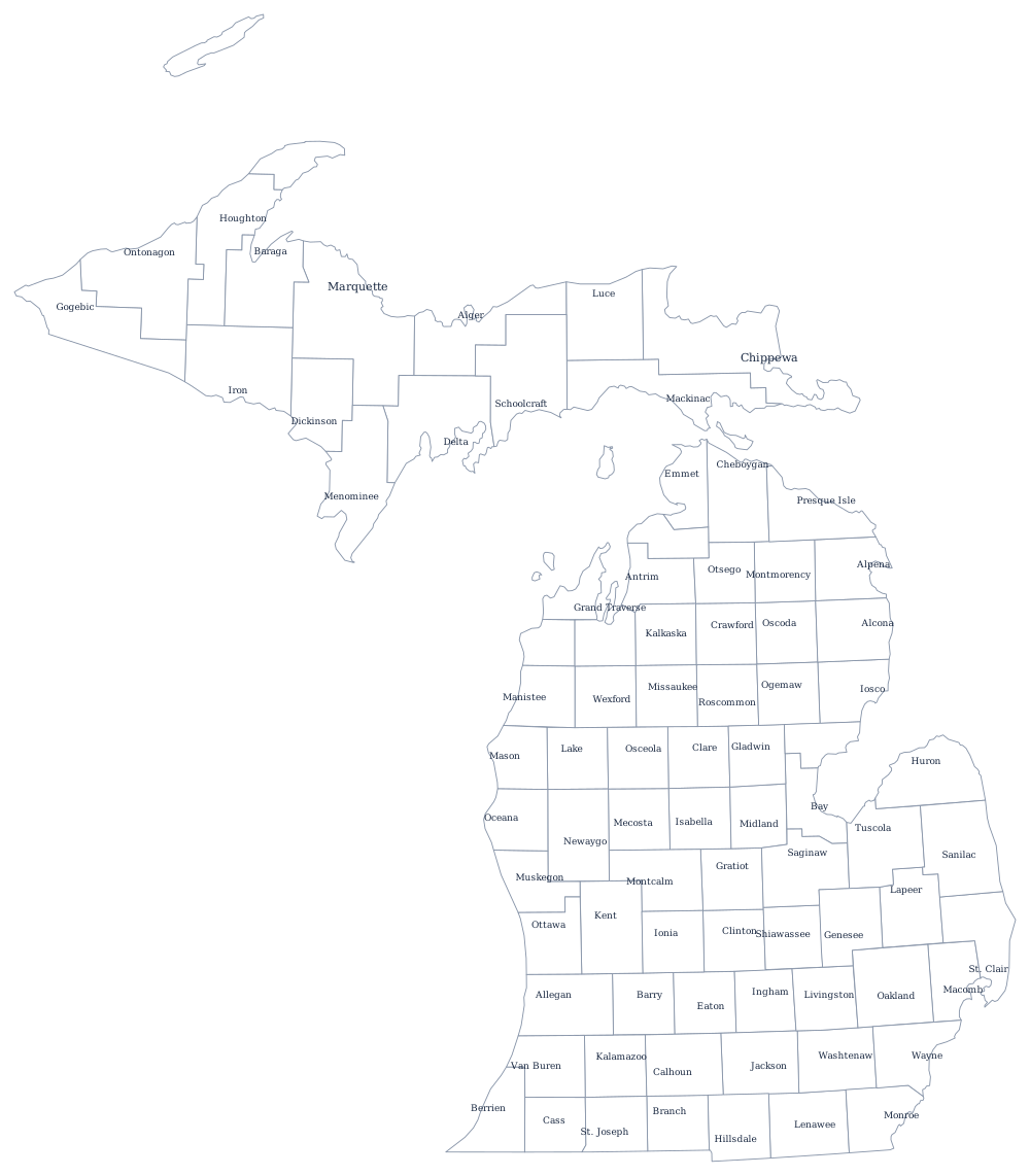
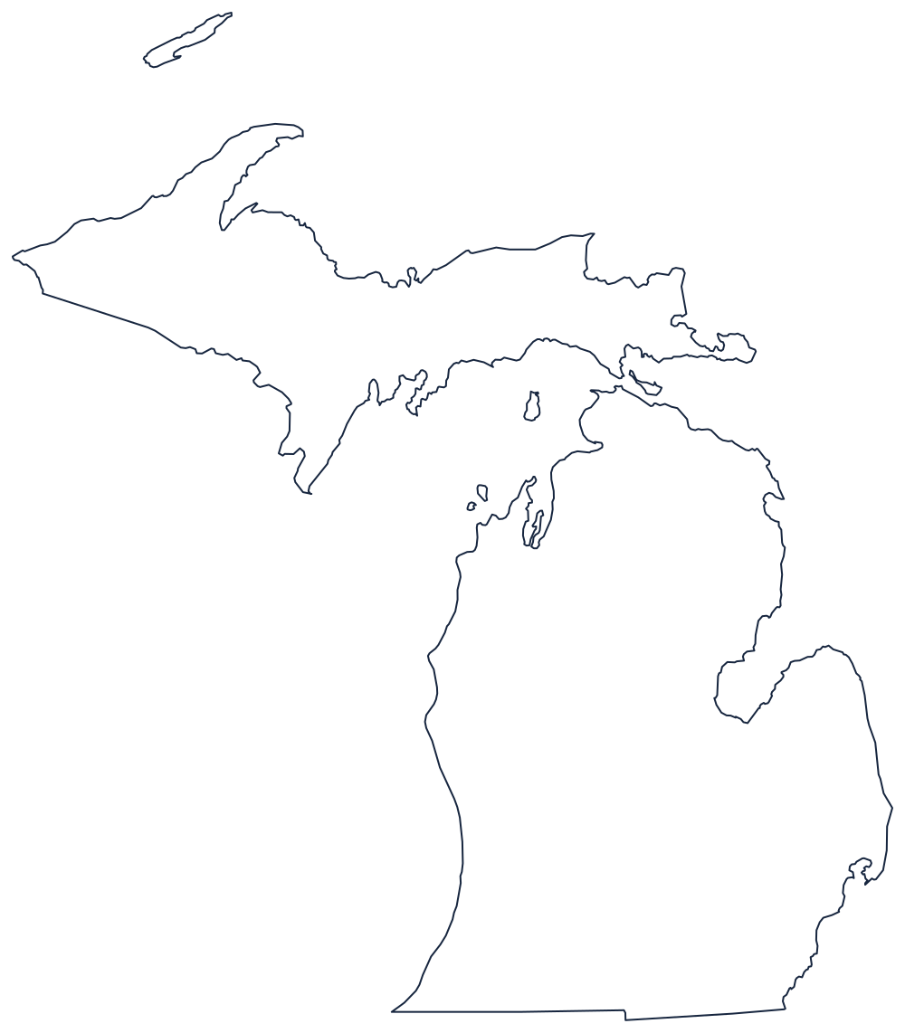
The Lower Peninsula was surveyed from the Michigan Meridian near Jackson and cut into counties on paper long before it was settled — many were laid out in the 1830s and left unorganised for a decade or more, attached to a neighbor until enough people arrived to elect a sheriff. The Upper Peninsula came to Michigan in 1836 as compensation for losing the Toledo Strip to Ohio, and its counties were drawn later and much bigger, around mines rather than farms.
The 83 counties of Michigan
The three counties of metropolitan Detroit — Wayne, Oakland, and Macomb — hold 39% of the state between them. The ten below come to 64%.
| County | County seat | Population (2024 estimate) |
|---|---|---|
| Wayne County | Detroit | 1,771,063 |
| Oakland County | Pontiac | 1,296,888 |
| Macomb County | Mount Clemens | 886,175 |
| Kent County | Grand Rapids | 673,002 |
| Genesee County | Flint | 402,279 |
| Washtenaw County | Ann Arbor | 373,875 |
| Ottawa County | Grand Haven | 306,235 |
| Ingham County | Mason | 290,427 |
| Kalamazoo County | Kalamazoo | 264,780 |
| Livingston County | Howell | 196,976 |
Boards of commissioners, charter townships, and Isle Royale
Most Michigan counties are run by a board of commissioners with no separately elected executive; the board hires an administrator and shares power with an elected sheriff, clerk, treasurer, register of deeds, and prosecutor. Wayne and Macomb are the exceptions, having adopted charters with elected county executives — Wayne in 1981, Macomb in 2009 — and Oakland's board created an elected executive post by statute in 1974. Below the county sit 1,240 townships, and about 130 of them have taken charter status, a Michigan invention that lets a township levy more and, crucially, protects it from being annexed by a neighboring city. That is why the Detroit suburbs are a patchwork of townships rather than an expanding city.
The county map also has to handle a great deal of water. County boundaries are extended out into the Great Lakes, so Keweenaw County includes Isle Royale, forty miles offshore and much closer to Minnesota than to Michigan, and the counties along Lake Michigan and Lake Huron are legally far larger than their land area suggests. Mackinac County straddles the strait itself.
Largest and smallest counties
Wayne County is the most populous at 1,771,063 in 2024 and contains Detroit; it has lost more than a third of its people since 1970, more than any large county in the country. Oakland County is second at 1,296,888 and Macomb County third at 886,175. The smallest is Keweenaw County at the tip of the Keweenaw Peninsula, 2,161 residents — the least populous county in Michigan and, with Isle Royale, one of the emptiest in the eastern United States. Marquette County is the largest by land area at roughly 1,810 square miles.
Continue to the Michigan state page or the county map index. The land borders are few: Ohio, Indiana, and Wisconsin. The Great Lakes page explains the water that gives Michigan more coastline than any state but Alaska.